Tag: Illinois
-
Eclipse 2024
The much anticipated solar eclipse on April 8th is inching closer. What can you expect? If you find yourself within the path of totality, prepare for a total solar eclipse lasting anywhere from just under 1 minute to over 3.5 minutes. For those outside this path, your experience will vary depending on your location and…
-
Severe Weather Threat 4-1-2024
Much of Central and Southern Illinois is once again under the threat for severe thunderstorms this evening into the overnight hours. The SPC has a level 3 of 5 Enhanced risk for portions of South-Central and Southern Illinois and a level 2 of 5 Slight risk for areas South of a Bloomington Peoria Line.
-
Heavy Rain Monday
Heavy rain and high winds are expected on Monday across the Pana area. Current model guidance suggests around 1.00″ of rain is possible, and areas West of a Taylorville to the Decatur line could see higher amounts, upwards of 1.50″.
-
March 14, 2024 Severe weather overview.
Severe thunderstorms overspread portions of Central and South-Central IL during the afternoon and evening hours of March 14, 2024. The Storm Prediction Center issued a tornado watch for much of Central Illinois and South-Central IL until 9 PM.
-
Severe Weather Threat 3-14-24
Severe weather is possible during the morning and evening hours on Thursday, March 14, 2024. The Storm Prediction Center currently has much of Illinois under a slight risk for severe thunderstorms. The main threat looks to be damaging winds and large hail, with some of the hail potentially reaching the size of tennis balls.
-
2-27-24 Severe Weather Threat
As of 7:00 AM, the Storm Prediction Center has a slight risk for severe thunderstorms across a significant portion of Illinois. The region is characterized by a complex atmospheric setup, posing the potential for large hail, damaging winds, and a few tornadoes.
-
Heavy Snow, Strong Winds, bitter temps
Merely days following the recent system that brought up to 10 inches of snow to the state, we are now anticipating another significant weather system poised to bring substantial snowfall and strong winds to the region, commencing Thursday evening.
-
Weekly Weather Outlook 1.7.24
It’s Sunday, and it’s time for our weekly forecast update. We’ve got a busy week ahead with significant weather developments.
-
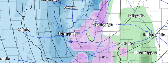
Winter Storm 1.8.24
A robust winter storm is forecasted to sweep through the state starting Monday night. Expect high winds exceeding 35 mph, substantial snowfall in certain areas, and rainfall.
-
Snowfall from 1/5/2024
A fast-moving clipper brought accumulating snow to areas of Central Illinois on the night of January 5, 2024. The forecast called for 1-2 inches for areas between I-55 and I-74, and this was verified, with some locations picking up almost 3.5 inches of snow.