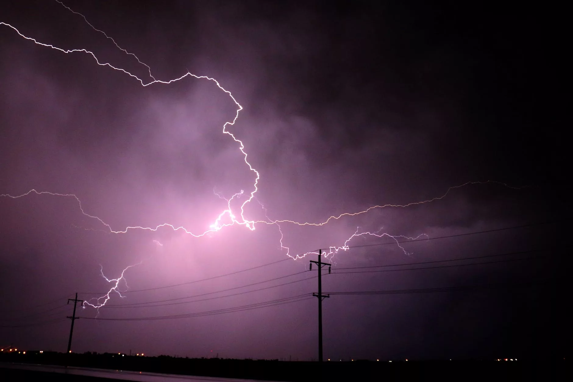
showers and thunderstorms are expected on Friday October 12 2023. Currents thought is that two rounds of thunderstorms will move through the area.
Round #1: This is NOT expected to bring severe weather to the area, but we know that Mother Nature likes to throw wrenches into forecasts. Round 1 will move through the area during the morning hours between 8AM and 4PM. This will bring heavy rains and perhaps some gusty winds, particularly between 11 AM and 4 PM as it has a chance to intensify.

Round #2: This round is what we will be focused on. It will move through the area between 5 PM and 10 PM. The SPC has a marginal risk in place over West Central Illinois. The SPC revised the outlook and removed a large portion of Central Illinois during the last update.

What can we expect? Damaging winds and large hail are the main threats, but a few tornadoes can’t be ruled out, especially in Northwest Illinois.
How the morning rain evolves and moves through the area will have significant implications for the severe threat later in the day. We will continue to monitor and update as needed!


